Trip Report: Mexican Hat -Clay Hills (San Juan River)
LENGTH: 4 Days/3 Night
CLASS: Class II+ - III
CFS: 600-800
Temps: 50’s -60’s
SEASON: Spring, Summer, Fall
DRINKING WATER: Pack
PERMITS: Recreation.gov
Day 1: Mexican Hat - The Goosenecks
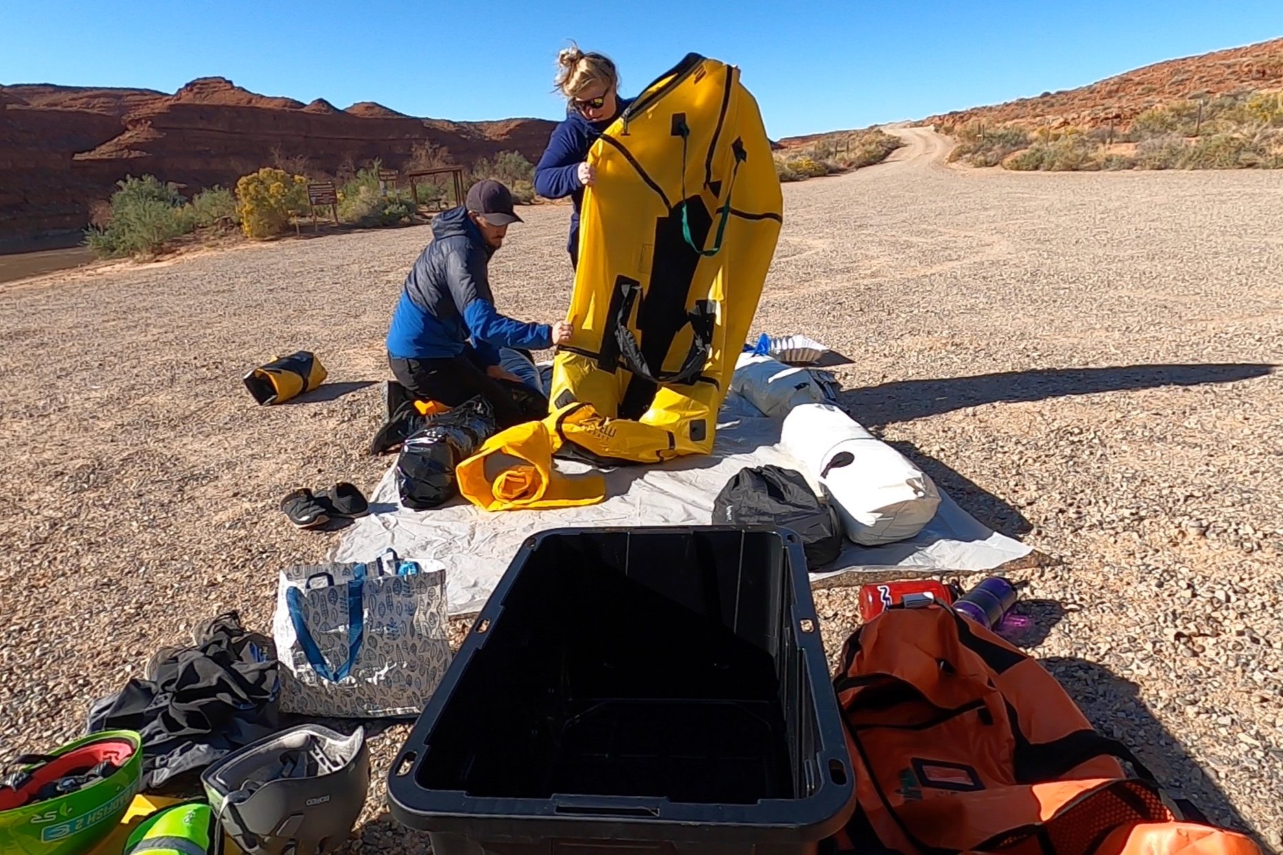
Day 1 was a little hectic because we really had no gauge on how quickly we would move down the river and we had to unpack all our gear from the truck and then pack the packrafts for launch. The fuck-around-factor was high, and it ended up taking us 90 minutes at the ramp. But, after dropping the truck off at the top of the road, we launched around 11:00am. We used Wild Expeditions Shuttles, which moved our truck from Mexican Hat to Clay Hills so it was there for us when we took out and cost $200. I had read in several recent posts on social media about theft at the Mexican Hat boat ramp, so we paid $5 a night to the store at the top of the road to store our truck until the shuttle company moved it.
Gypsum Creek Rapid was actually a little spicy at low flows! I honestly completely forgot about it until we heard it, oops! My partner was not a fan of blindly dropping into this crosscurrent of wave trains, especially after watching me get completed engulfed in the tallest wave of the train and pop out soaked. To be honest, I wasn’t expecting that either, and it left me a little shaken that I had perhaps overestimated our abilities. Thankfully, I really think it was just the perfect flows to make that rapid notable, as the rest of the rapids on the trip were not as difficult. As a novice, I think it was worth noting in case you are planning this section to be aware of that rapid at different flows, It felt spicy for a newbie.
According to my Garmin InReach, our average speed without paddling was about 2.0-2.5mph, slowing down towards the end of the day the deeper we got into the Goosenecks. With a light paddle, we averaged 3-3.5mph. The first few miles of this section are wide and meander out of town, but soon the walls grow tall and the river creeps narrower, until you’re in the shadows of The Goosenecks. I have hiked many deep canyons, but I can finally attest that floating along the element that carved the deep canyon you’re looking up at is pretty superb. The days are short in The Goosenecks, and we decided to pull of about a mile earlier than our planned destination because it was our first day and we wanted to get to camp while there was still sunlight the canyon floor. There are campsites almost every 1/2 mile on this section, but I really wanted to stop in direct sun, so we pulled a few miles before Honaker.
Day 2: Camp 1 - Below Ross Rapid
Day 2 was cold! Deep into The Goosenecks we paddled. This was the only portion of the trip I was miserable in my paddle top/bottom and regretting not wearing my drysuit. We did not pull off at Honaker Trail this trip because we were really eager to get going down the river. The tall shadows of the canyon walls shaded large stretches of the river, and in the morning, the air was frigid. This was our shortest day on the river time wise, but I also think that’s because I was highly motivated to paddle towards the sun! Be prepared for a few hours of Type 2 fun in the morning if you go in the fall, but it warmed up by 11:00am most days and I still wouldn’t consider this winter temps. My only mistake was wearing paddle top and bottoms with neoprene socks (that could get and stay wet). I have since bought a drysuit.
We portaged one new/unmarked rapid now being called Upper Twin Canyon Rapid (a few miles above Ross Rapid, marked on my map with the red indicator labeled PORTAGE) because the 600cfs made it too bony for us to chance the packrafts, and we didn’t see a good line. To a noob, I would describe it as a really crappy rock garden with a high potential for being turned sideways and flipped. Another trip report from 2016 described it as “relatively new. It appears that a flash flood down the upper Twin Canyon has dumped a lot of debris into the river here forcing the river into a narrow and rocky channel”. There was an easy, short portage on river right and 2 people made it quick. Although I wouldn’t like to make a habit of putting that much strain on the rigging points, we portaged them full.
Day 3: Below Ross Rapid - Slickhorn Gulch
Day 3 was a relatively easy day. The narrow canyons began to open up between the and it felt a lot more like Canyonlands or Potash. After a little scouting, I decided to run Government Rapids, which was fine with a little maneuver to the left (I also watched a couple YouTubes of the feature before I went). My partner decided to portage simply because the water was too damn cold! Too cold to get splashed again, and definitely too cold to swim without a drysuit. Government was running 800cfs the day we passing through, it seems like it would be a nicer rapid with a little more volume.
Slickhorn Gulch was BY FAR the highlight the trip. Five camps are along the banks, and we had the canyon entirely to ourselves that night. In the hot summer, I could imagine walking up to the farthest camp, hoping in the river, and floating back down to the end. It’s definitely worth a layover day if you have time. We hiked about a 1/2 mile up the gulch to explore. Since it was. fall, there was only a trickle of water down the canyon. The rock formations in the canyon were unreal. I am pretty sure that’s petrified wood?
Day 4: Slickhorn Gulch - Steer Gulch/ AKA Cricket Camp
Below Slickhorn, we were now in the Cedar Mesa sandstone, and the river really opened wide and we paddled right up to the incredible canyon walls. Day 4 was simultaneously my favorite day on the river and my least favorite camp. The Cedar Mesa Sandstone walls and overhangs are almost too unique to describe. According to the National Park Service Geological Study, Cedar Mesa Sandstone is between 245 to 286 million years old. In terms of the paddling, this was the first day we really had to navigate to avoid sandbars. We ended up having to walk a few times, but not enough to kill our spirits.
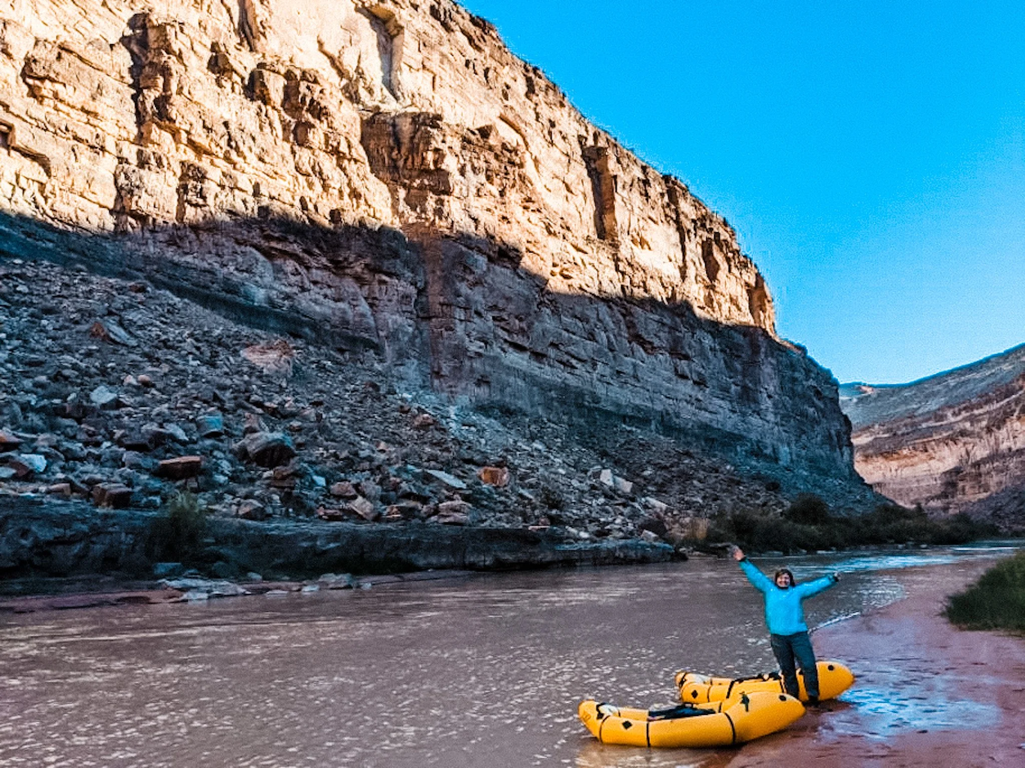
Don’t let that majestic photo to the left fool you, I’m standing in mud so thick it it could vacuum seal a steak, The “bank” was actually just 10ft of this thick, truly engulfing mud. Camp was worse. You could see by the marks in the cracked dirt that where we were camping was usually a swamp. The mosquitoes, even in October, were insatiable and we spent the entire afternoon of our last day in the tent. The best is yet to come though…once night fell, THOUSANDS of crickets covered the ground. When I say I have never witnessed anything like this in my life, I hope I never see it again.
Despite covering and sealing our gear, crickets got into everything, even the pockets of our PFD’s and. folds of our drying paddle pants. I even found several live crickets 2 days later cleaning gear. No wonder we saw the fattest lizard I’ve ever seen in my life at that camp! Overall, I would NOT camp at Steer Gulch again, try for Oljeto Wash, it’s only a couple miles before Steer Gulch and would add less than an hour to your Clay Hills takeout the next day.
Day 5: Steer Gulch - Clay Hills Take Out
Day 5 was the slowest day in terms of average flow, but the scenery was spectacular. The continues to flow through the sandstone walls and overhangs, the unique echoing sounds created under the rock overhangs were incredible. Even though the last day was low and slow, it’s quite spectacular to see the river’s natural path of least resistance through the river channels at low water. We paddled most of the final miles out, walking a few sections because it was the shortest path up the riverbed. We actually had an adult Blue Heron follow us for the entire 5 day trip up the river, the final day he fished not 20ft from us, completed unfazed by the large yellow blobs floating along beside him.
Clay Hills Take Out was low but still easy to access. 2 big rafts and a few duckies pulled in not long after us without issue. The views coming over the Moki Dugway were the finally cherry on top on our drive back to Durango for Steamworks beers and a hot shower!
Camp Logistics
A few notes on camping! We used our backpacking gear and 3-season gear because of the shoulder season. It was still quite warm at night, and a simple backpacking would be fine. We planned out meals backpacking style (as light and small as possible), and swapped for fresh food where it made sense. We brought fresh fruit for everyday, potatoes, onions, bell peppers, crushed garlic, cheese, and smoked salmon in terms of “perishables”. We brought our MSR Whisperlite (“International Edition!” words of my partner) and a small cast iron skillet along with our backpacking pot. WOW, PRIMO! To a backpacker and former thru-hiker, I really felt like we were feasting! We packed all our freshwater in, and all out poop out. Heres a link to my gear list, the camping section includes everything I mentioned.
Additional Information & Links
Vehicle Shuttle: Wild Expeditions
Price: $200 to move from Mexican Hat to Clay Hills
Rec.Gov San Juan River Permit General Info Page
San Juan River Rules and Regulations
BLM San Juan River Campsite Map


